
Sierra Madre-Castaic Wildlife Crossing

Strengthening habitat connections across one of Southern California’s busiest transportation corridors

Los Angeles County, California

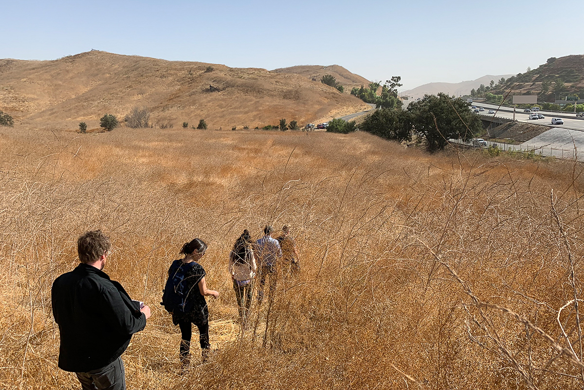
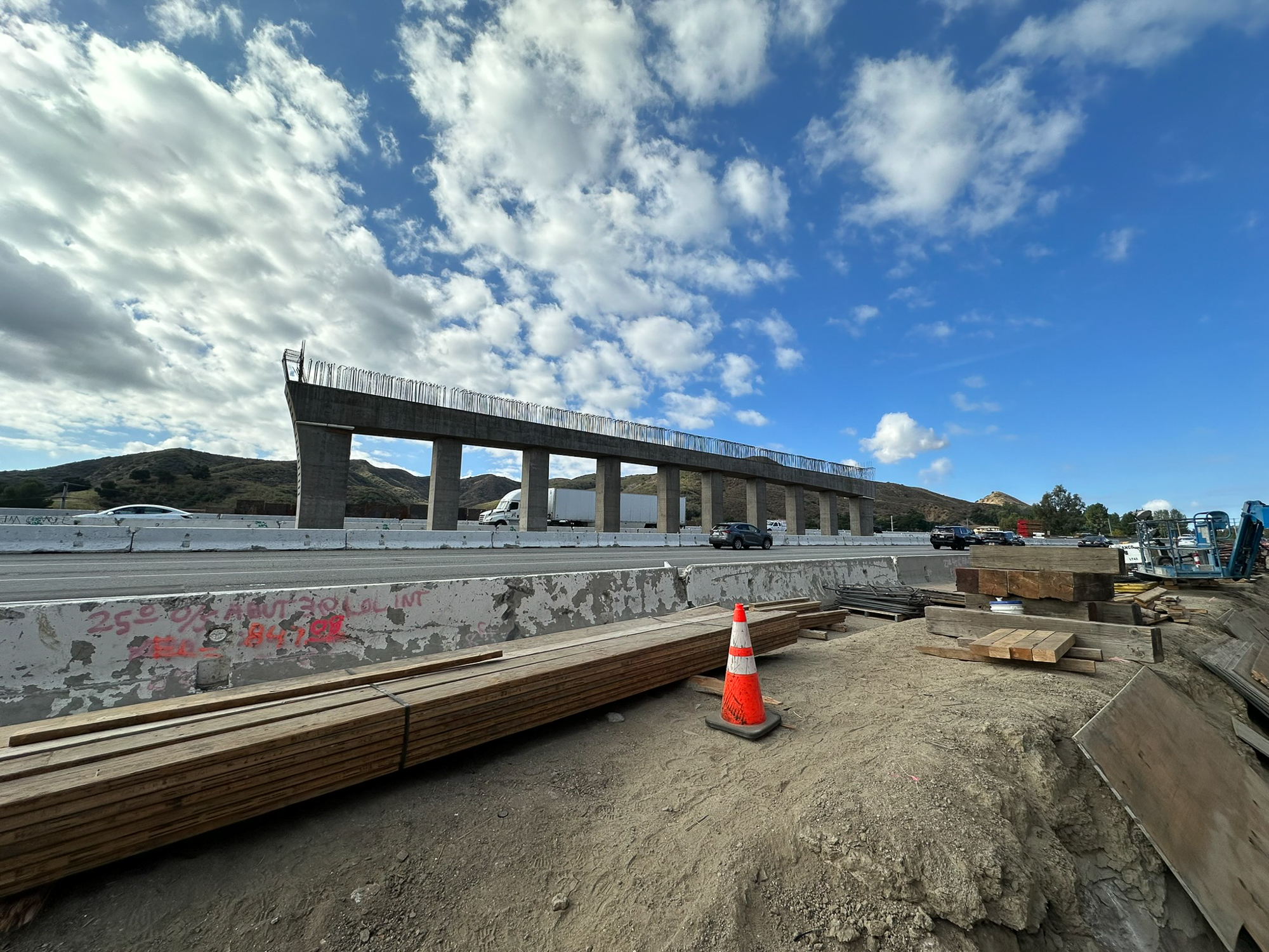
Interstate 5 cuts across one of Southern California’s most important wildlife linkages, separating the Santa Susana and San Gabriel Mountains and restricting movement between hundreds of thousands of acres of habitat.

For mountain lions and dozens of other species, this heavily traveled corridor creates a significant barrier to movement across the landscape.

I-5

Restricted connectivity can limit genetic exchange, increase the risk of wildlife-vehicle collisions, and place additional pressure on wildlife populations already navigating a highly developed region.

Addressing that challenge requires more than identifying where animals cross. It means understanding habitat patterns, roadway conditions, engineering constraints, and the opportunities that exist along a complex transportation corridor.

Identifying wildlife crossings

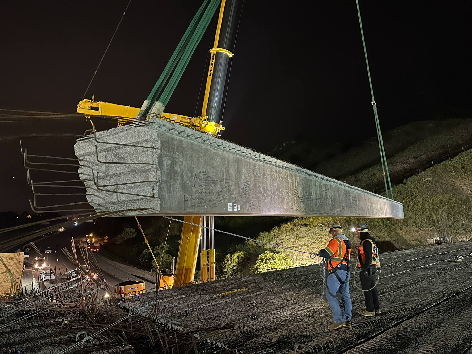
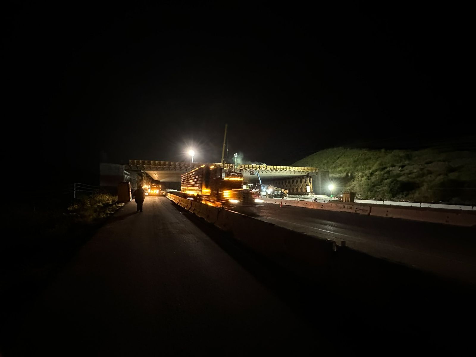
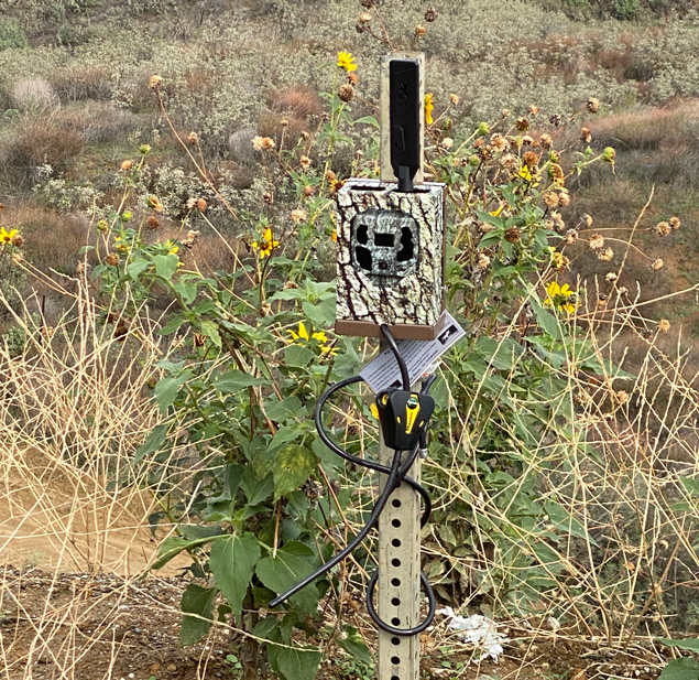
Rock Design Associates is collaborating with the Mountains Recreation & Conservation Authority, The Nature Conservancy, Wildlife Conservation Network, South Coast Wildlands, and additional local stakeholders to develop an implementation plan for a 26-mile segment of I-5 between SR-138 and Castaic Creek.

The effort brings together landscape architecture, wildlife ecology, road ecology, engineering, and transportation planning to identify priority crossing locations, evaluate site feasibility, and advance the most promising opportunity toward Caltrans project development.

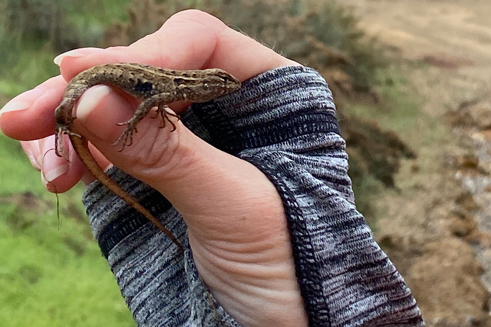
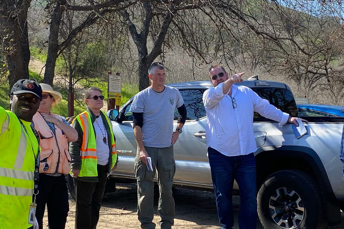
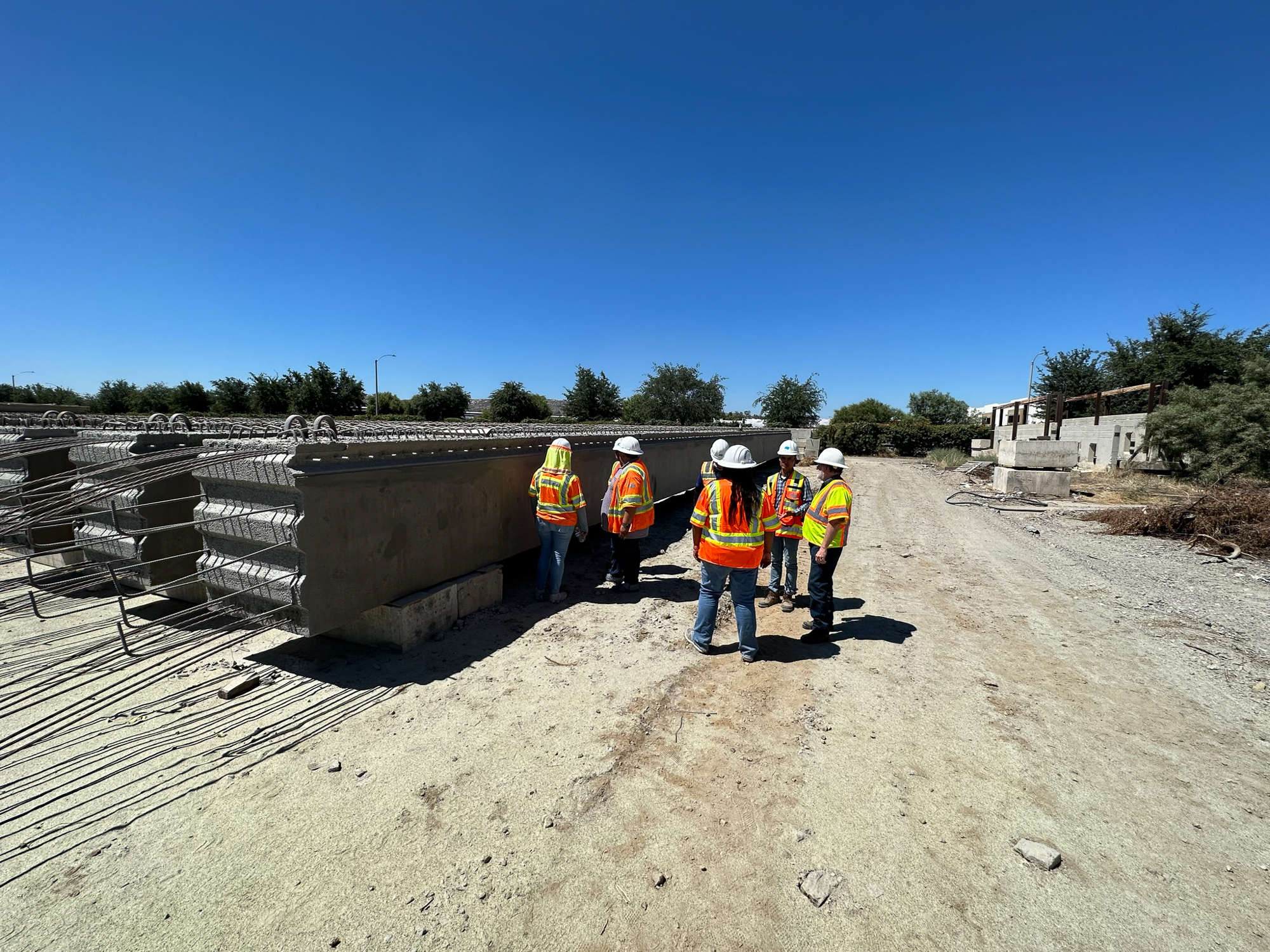
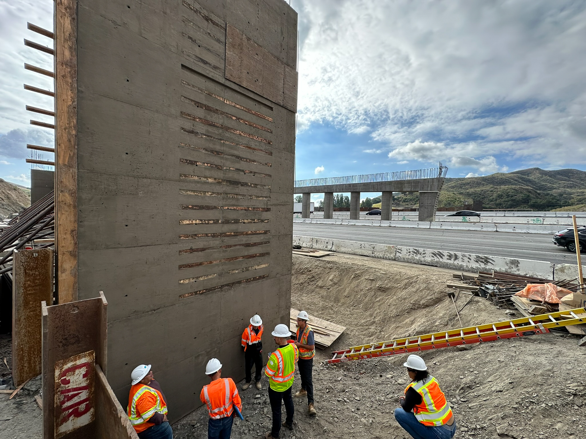
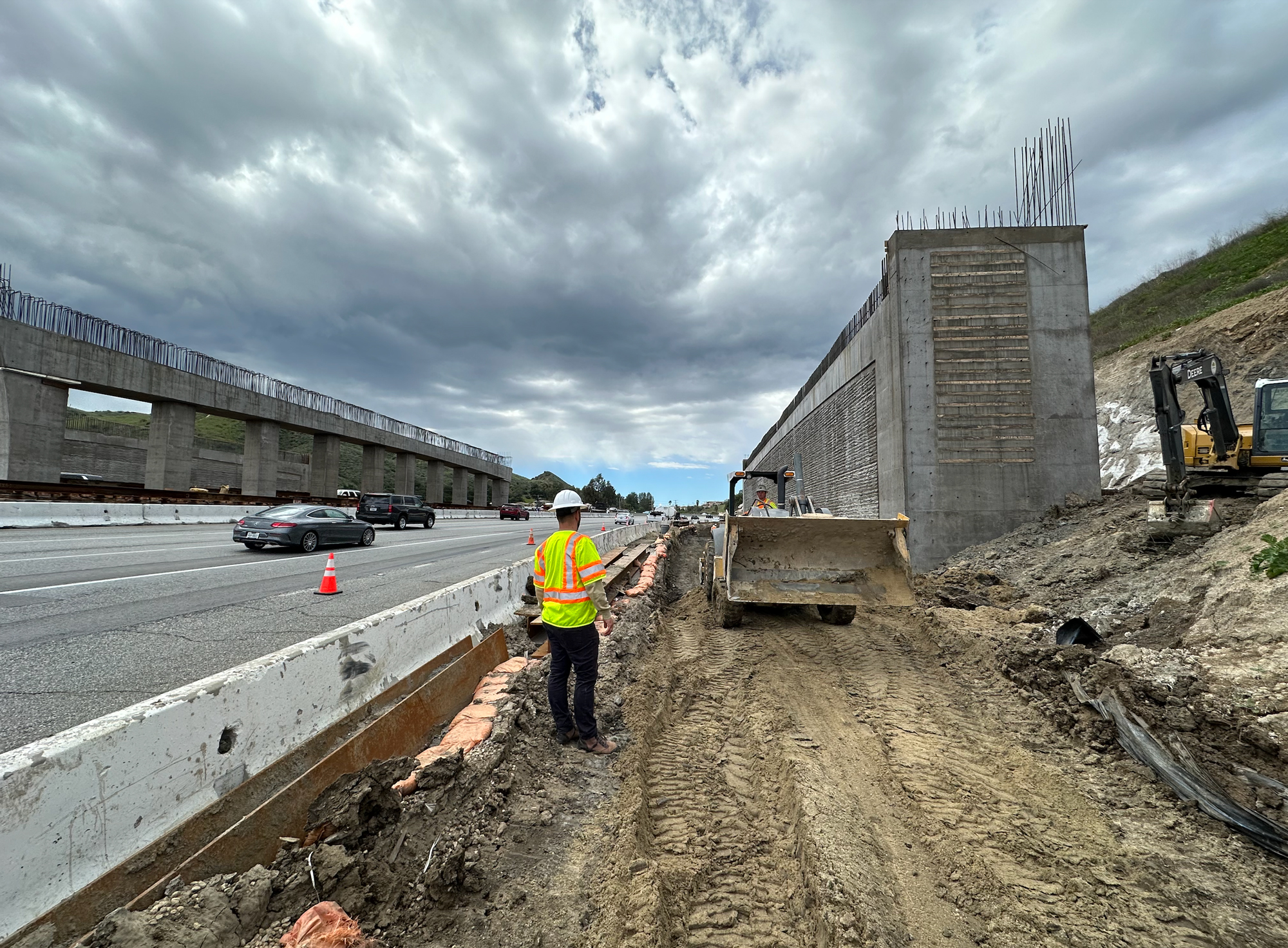
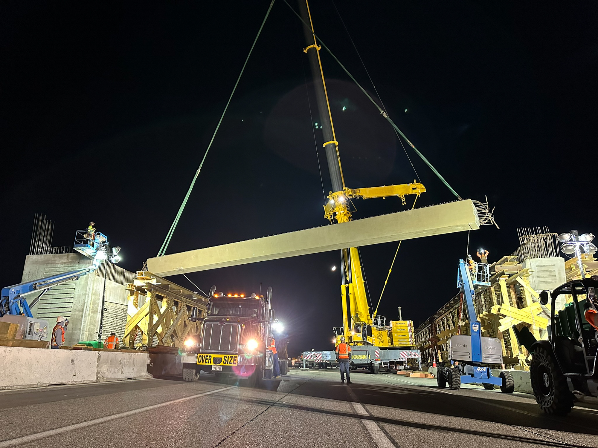
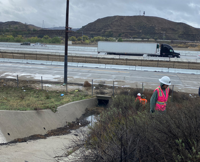
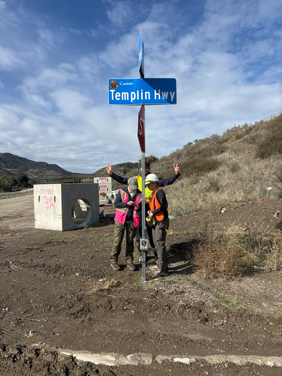
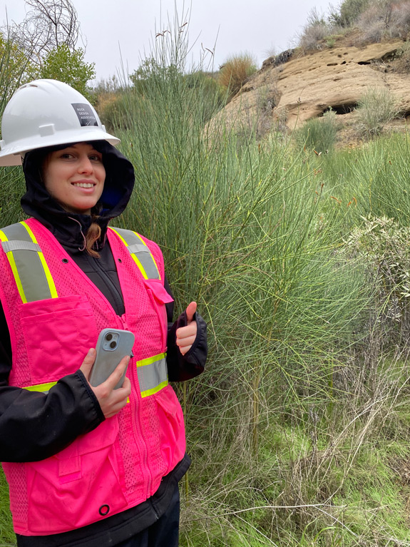
RDA in the field

From regional strategy to implementing solutions

Large-scale wildlife connectivity planning begins with understanding the landscape, but meaningful change depends on translating that understanding into projects that can actually be built.

Along the Sierra Madre-Castaic corridor, RDA and its partners are evaluating potential crossing locations through multiple lenses, including wildlife movement, habitat quality, roadway conditions, constructability, and long-term effectiveness.

This multidisciplinary approach helps narrow a broad regional challenge into targeted opportunities that can move forward through design, environmental review, and transportation project development.
Reconnecting habitat for the long term

Restoring movement between the Santa Susana and San Gabriel Mountains would strengthen one of Southern California’s most ecologically significant landscape connections.

Improved connectivity can support genetic diversity, expand access to habitat, reduce conflict between wildlife and vehicles, and help species adapt as environmental conditions continue to change.

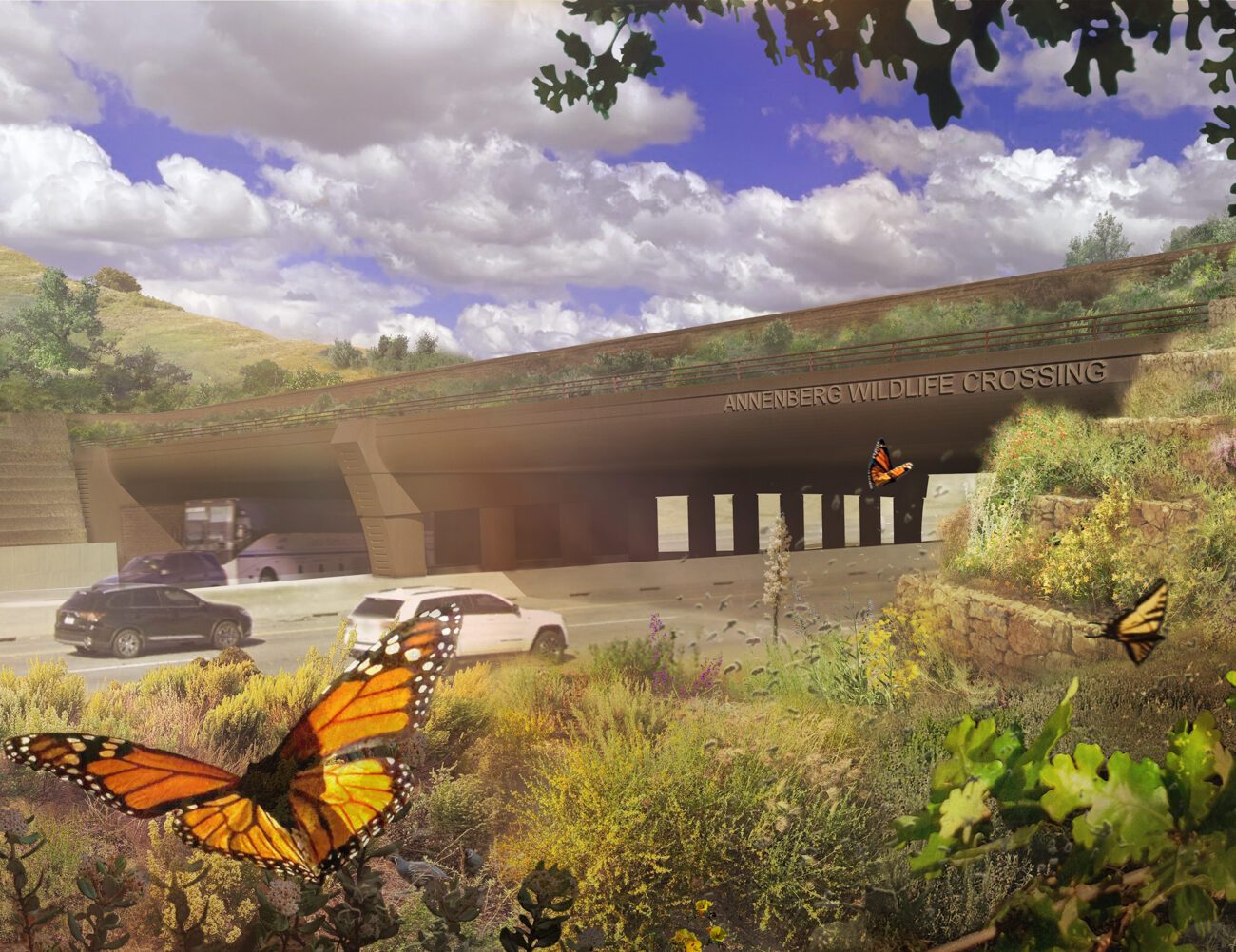
By bringing together design, science, engineering, and collaborative planning, the project lays the groundwork for infrastructure that benefits both wildlife and motorists while helping sustain the landscape for decades to come.

A closer look

Want an even more in depth look at our approach to this project and its various stages of development? Our full design story behind the Wallis Annenberg Wildlife Crossing project is coming soon.

Our work spans landscapes of every scale.

From regional ecological infrastructure to parks, campuses, and public spaces, every project begins with the same commitment to understanding place and designing for lasting impact.

Stay connected.

Have a project in mind or a place that deserves thoughtful attention? We’d welcome the opportunity to learn more and explore what’s possible.

Have a project in mind?

Do not hesitate to say