
South Tahoe Connectivity

Reconnecting habitat across one of the Sierra Nevada’s most traveled landscapes

South Lake Tahoe, California

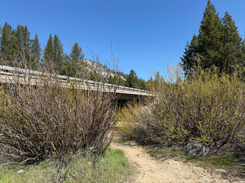
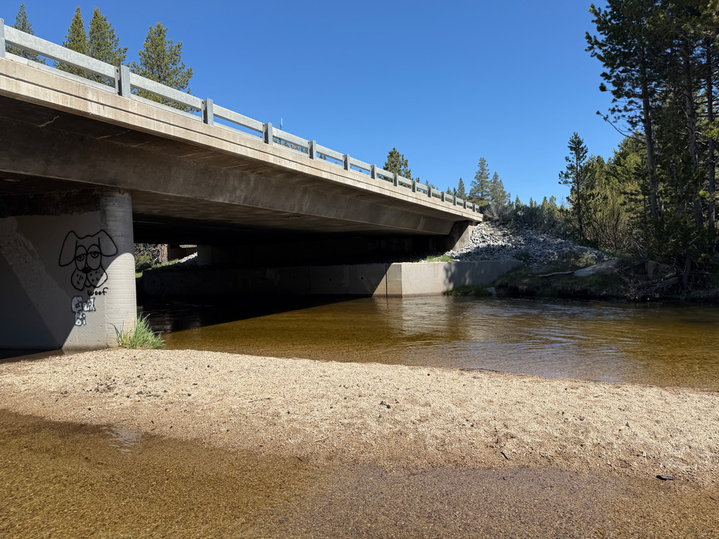
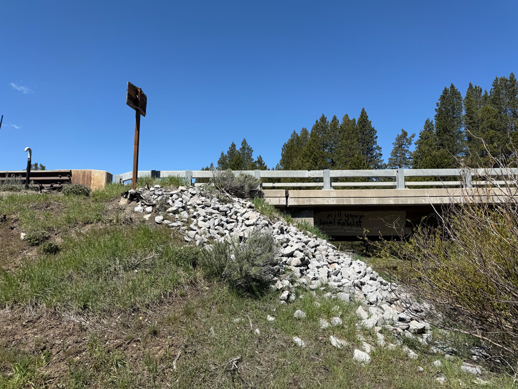
The Lake Tahoe Basin is renowned for its alpine landscapes, but it is also one of the Sierra Nevada’s most important wildlife movement corridors.

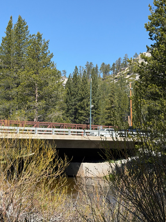
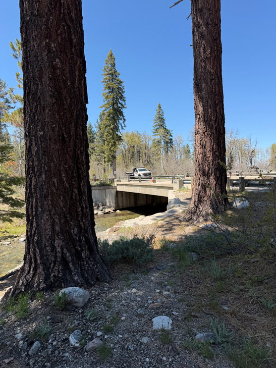
Black bears, bobcats, mule deer, and many other species depend on connected habitat to move through the region. As visitation and traffic continue to increase, highways including US 50, SR 89, and Pioneer Trail Road have become significant barriers across that landscape.

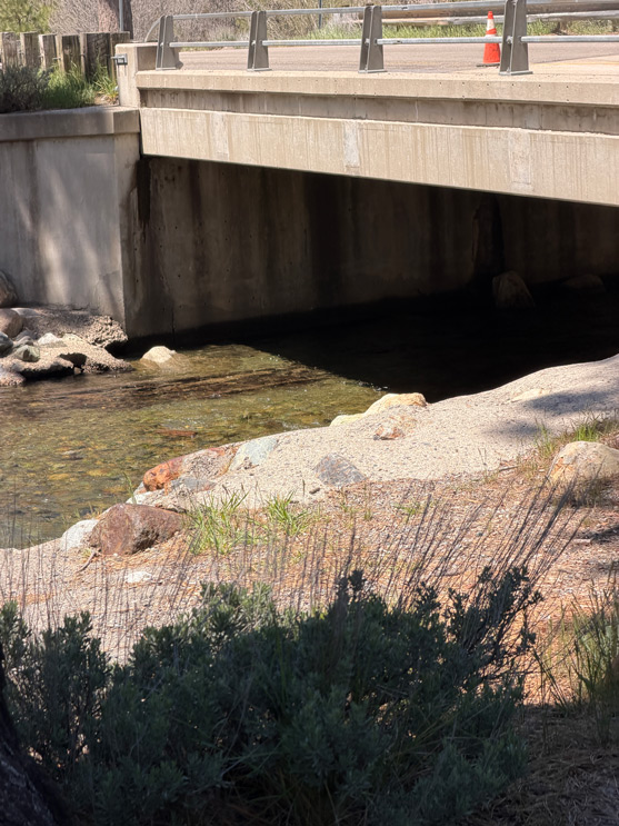
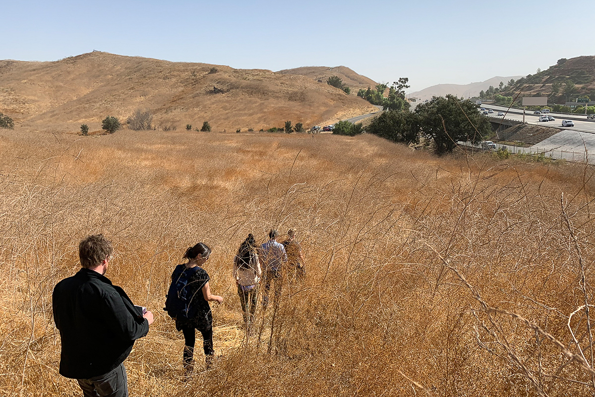
Sunset Stables, South Lake Tahoe

Rock Design Associates is working with the Wildlife Crossing Fund, California Tahoe Conservancy, Pathways for Wildlife, Caltrans, El Dorado County, the U.S. Forest Service, and the Washoe Tribe to advance environmental planning and compliance for up to four wildlife crossing structures throughout the South Tahoe Basin.

Guided by the California Tahoe Basin Wildlife Connectivity Study, the work focuses on locations where transportation infrastructure intersects with important wildlife movement routes.

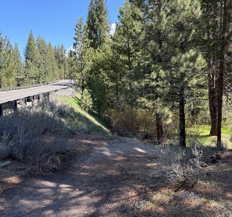
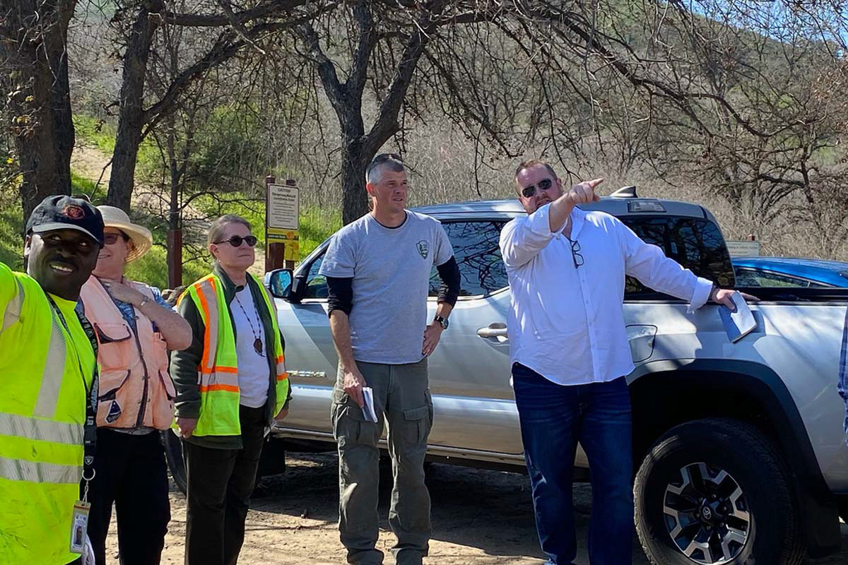
Sunset Stables, South Lake Tahoe

The project seeks practical, science-based solutions that reconnect fragmented habitat while creating safer passage for wildlife across some of the region’s busiest transportation corridors.

By strengthening these connections, the work supports healthier wildlife populations and helps preserve the ecological systems that make the Lake Tahoe Basin distinctive.

Sunset Stables, South Lake Tahoe

Connecting habitat across the basin

Wildlife movement does not stop at jurisdictional boundaries, property lines, or roadways. Effective connectivity planning requires looking across the larger landscape to understand where animals move, where barriers occur, and where strategic improvements can make the greatest difference.

The South Tahoe Connectivity effort brings together ecological research, transportation planning, environmental compliance, and collaboration among agencies, conservation organizations, and Tribal partners.

That coordinated approach helps translate wildlife movement data into implementable solutions designed for the realities of a highly traveled and environmentally sensitive landscape.
Building resilience through connection

Protecting wildlife corridors is about more than helping animals cross a road. Connected habitat allows species to access food, water, seasonal ranges, and breeding areas while adapting to changing environmental conditions.

For the South Tahoe Basin, improving these connections also helps sustain the ecological integrity that communities and visitors value.

By restoring movement across fragmented landscapes, the project supports a more resilient future for both wildlife and the broader Lake Tahoe ecosystem.

A closer look

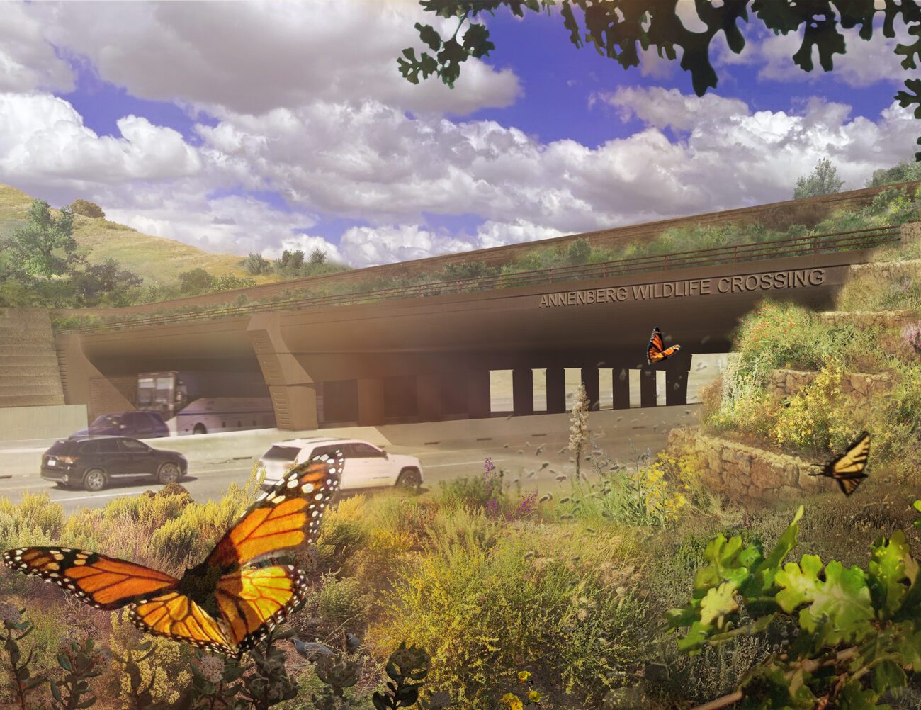
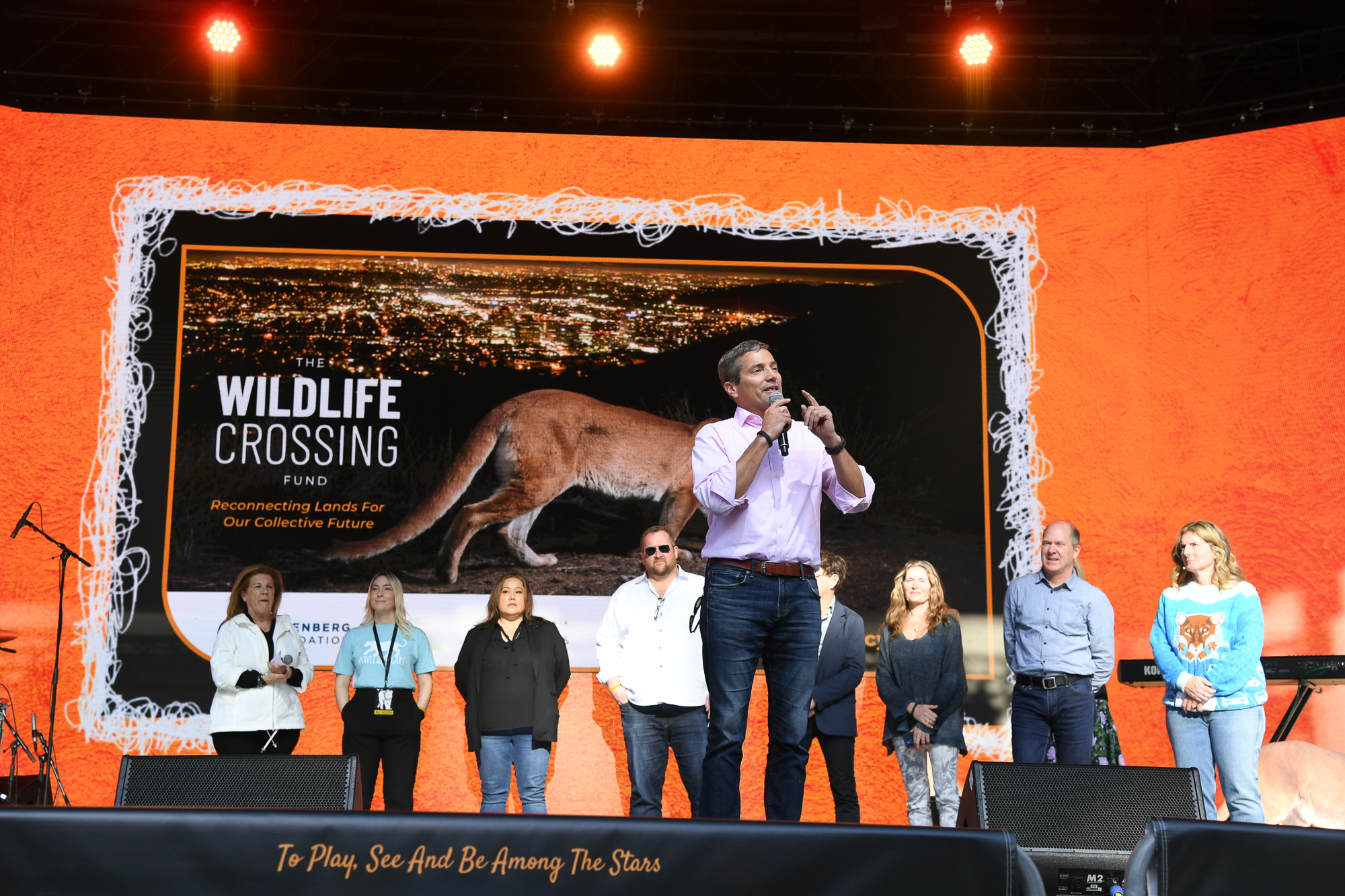
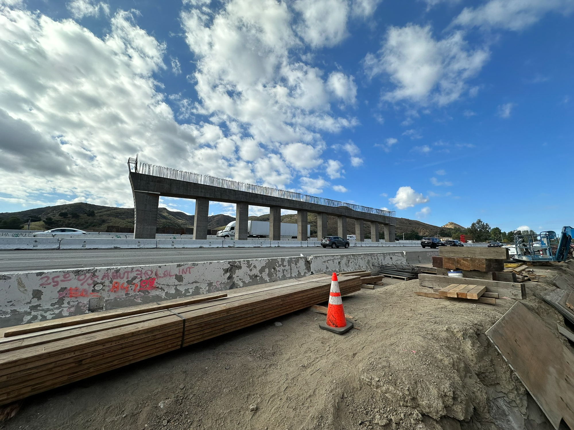
Want an even more in depth look at our approach to this project and its various stages of development? Our full design story behind the Wallis Annenberg Wildlife Crossing project is coming soon.

Our work spans landscapes of every scale.

From regional ecological infrastructure to parks, campuses, and public spaces, every project begins with the same commitment to understanding place and designing for lasting impact.

Stay connected.

Have a project in mind or a place that deserves thoughtful attention? We’d welcome the opportunity to learn more and explore what’s possible.

Have a project in mind?

Do not hesitate to say