
Vision for Robbins Master Plan & Robbins Stormwater Park

Transforming stormwater infrastructure into a framework for community resilience

Robbins, Illinois

Work performed by Robert Rock during his tenure at Living Habitats.

The Village of Robbins has lived with flooding for generations. Located within a low-lying floodplain south of Chicago, the historically self-governed Black community relied for decades on infrastructure capable of handling only modest rainfall. As storms became heavier, flooding increasingly affected homes, streets, and everyday life.

The challenge extended beyond managing stormwater. Robbins had also experienced years of disinvestment, making it essential that new infrastructure address immediate environmental needs without displacing residents or limiting the community’s future opportunities.

The question became larger than how to move water through the Village: how could essential infrastructure reduce flooding while also becoming a catalyst for a more resilient and connected community?

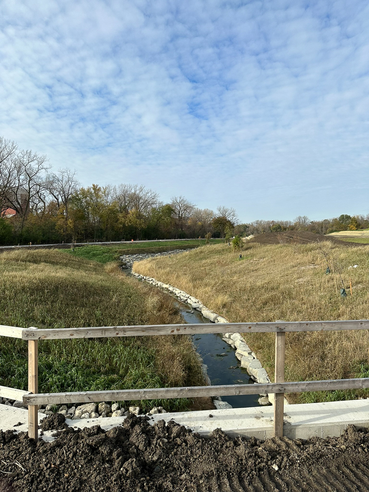
narrow channel Robbins Park

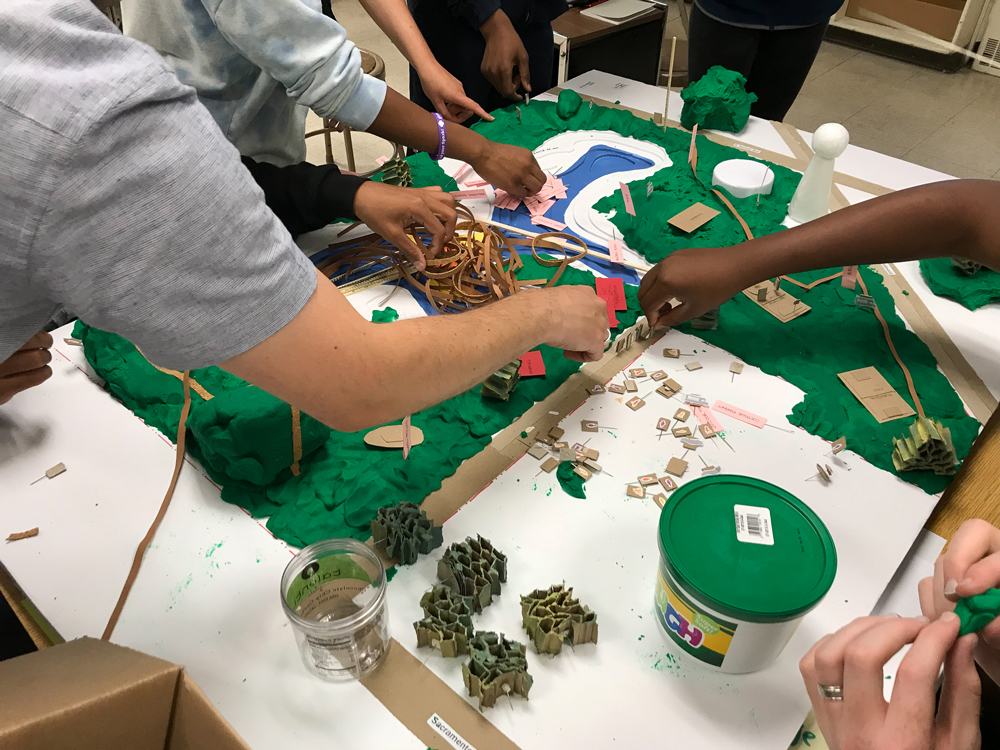
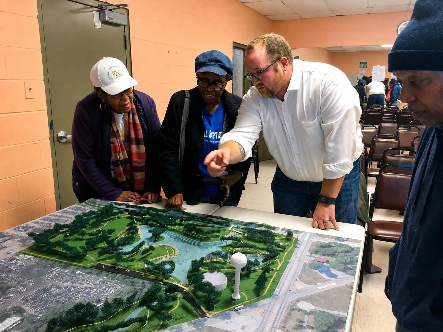
Through public meetings, collaboration with residents, and ongoing dialogue with Village leadership, the planning team developed the Vision for Robbins Master Plan—an approach that pairs critical stormwater infrastructure with long-term community investment.

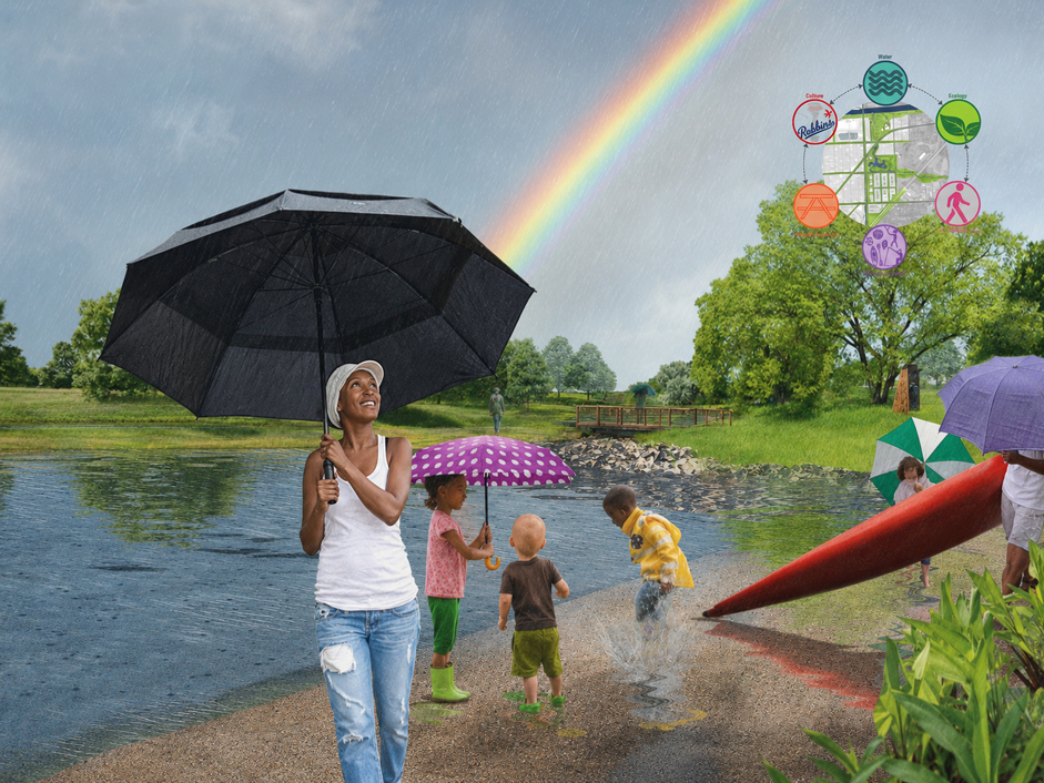
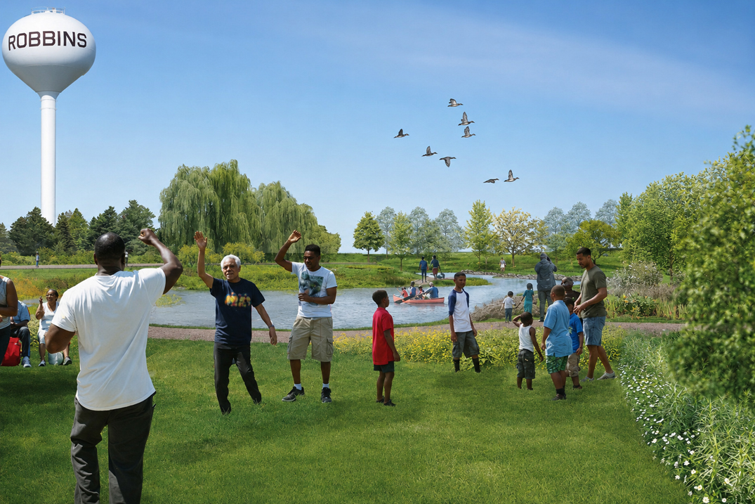
Robbins Stormwater Park represents the first major phase of that vision. Rather than treating drainage infrastructure as something to hide, the project transforms it into a resilient public landscape designed to accommodate the 100-year storm while restoring ecological function and creating opportunities for recreation and gathering.

Rock led the design of the project and oversaw construction of its first stage while at Living Habitats, bringing together engineering, landscape, and community priorities within a single piece of public infrastructure.

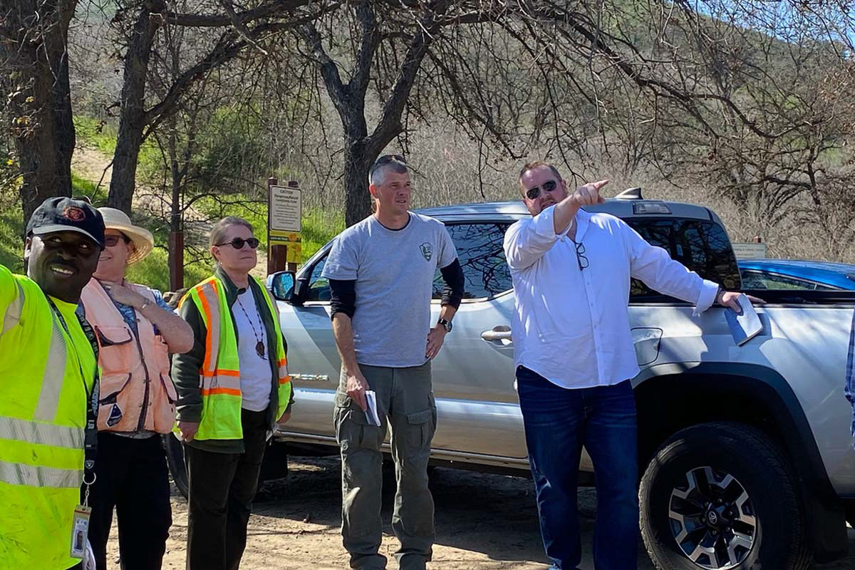
Rock meeting with residents

The park demonstrates how infrastructure can do more than solve a single problem. Innovative engineering strategies are paired with thoughtful reuse of materials already found on the site.

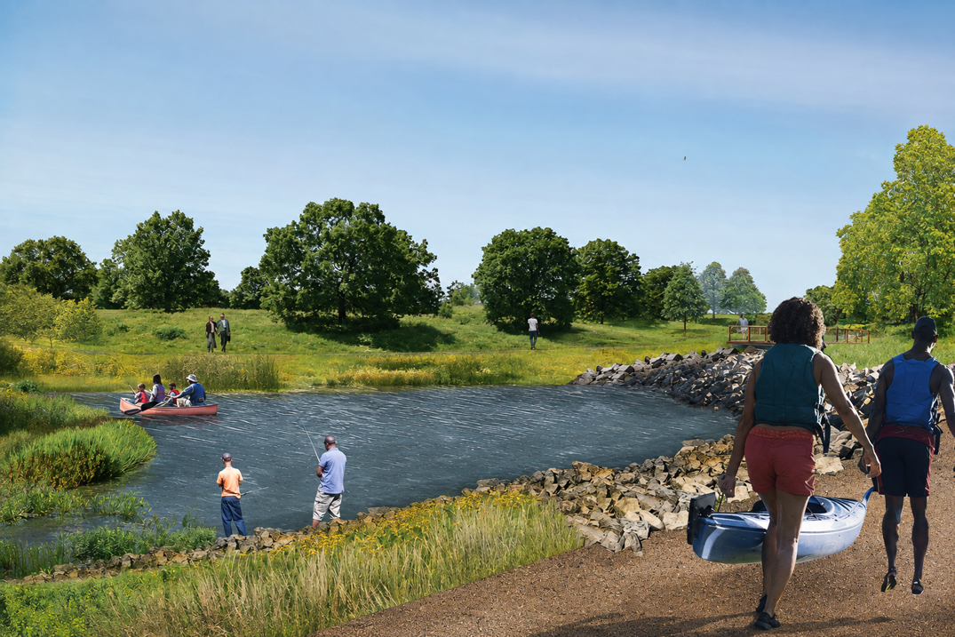
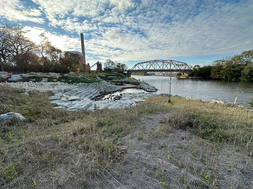
Stone excavated while creating the park’s new drainage features was reused to armor the channel edges rather than being removed from the site. At the northern end, where the channel connects with the Cal-Sag Channel, that material also helps shape a safe-water zone intended to accommodate kayaks, canoes, and other personal watercraft.

In this way, infrastructure built to manage flooding also becomes part of the community landscape—supporting ecological performance, recreation, and new ways for residents to engage with the water.

Robbins Stormwater zone with bridge

Infrastructure: a community asset

Robbins Stormwater Park reframes stormwater management as an opportunity to invest in place. The first stage of construction north of Claire Boulevard was completed in 2023, establishing the first built piece of the broader Vision for Robbins Master Plan.

Designed to manage major storm events, the park also creates a new public landscape where resilient infrastructure, ecological systems, and community life can overlap. Instead of separating infrastructure from the people it serves, the design makes its function visible and useful—turning a necessary response to flooding into an enduring community amenity.

A foundation for what comes next

The Stormwater Park is only the beginning of the larger vision for Robbins. Future phases of the master plan identify opportunities for an adjacent transit-oriented development district near the METRA station and an energy district along the Cal-Sag Channel.

Together, these ideas extend the project beyond flood protection. They establish a framework for long-term community resilience, economic vitality, and investment while building on the infrastructure improvements already underway.

For Rock Design Associates, the work reflects a broader approach to design: infrastructure can deliver measurable performance while acknowledging history, responding to community priorities, and creating benefits that reach well beyond the problem it was originally built to solve.

A closer look

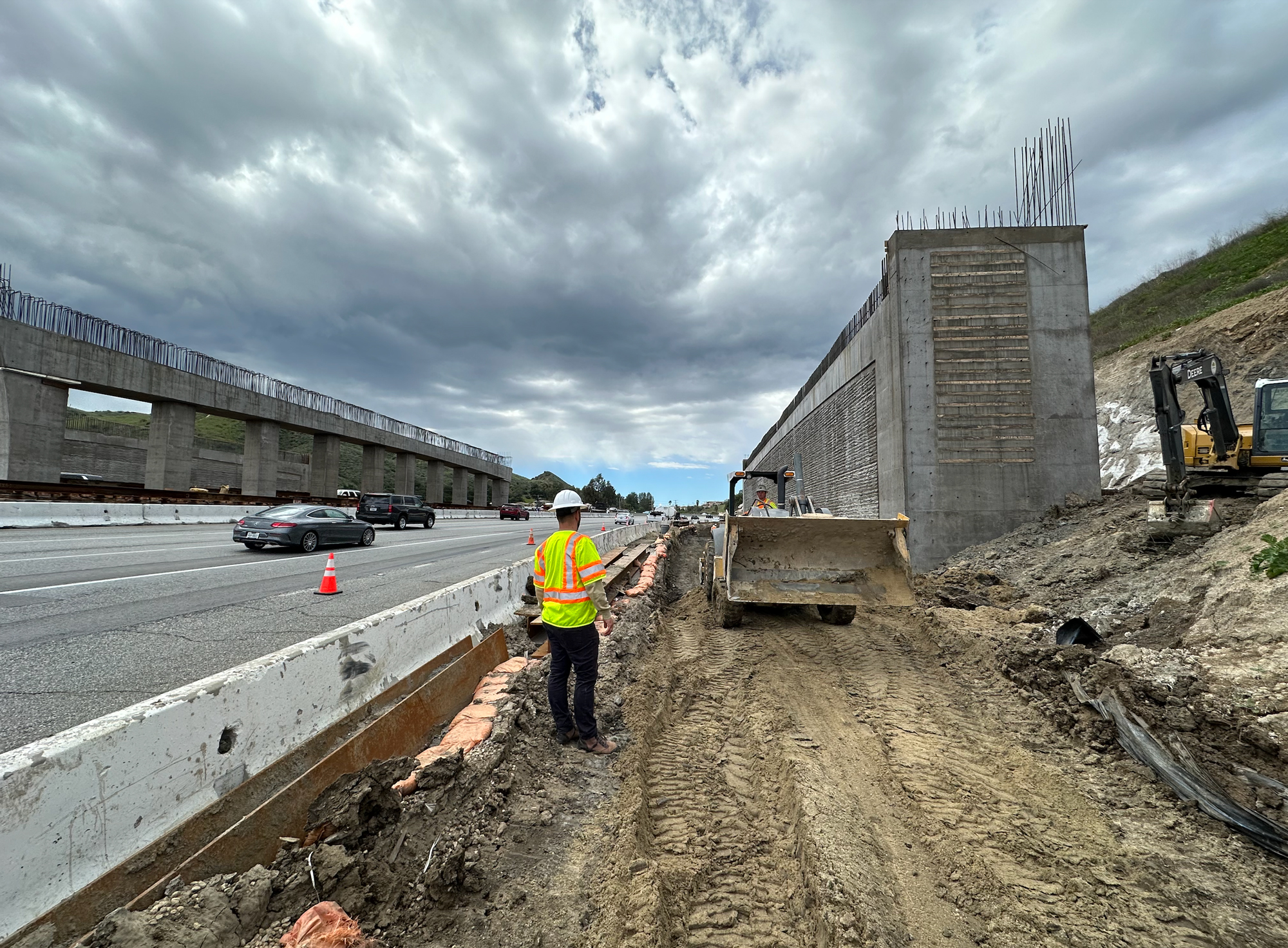
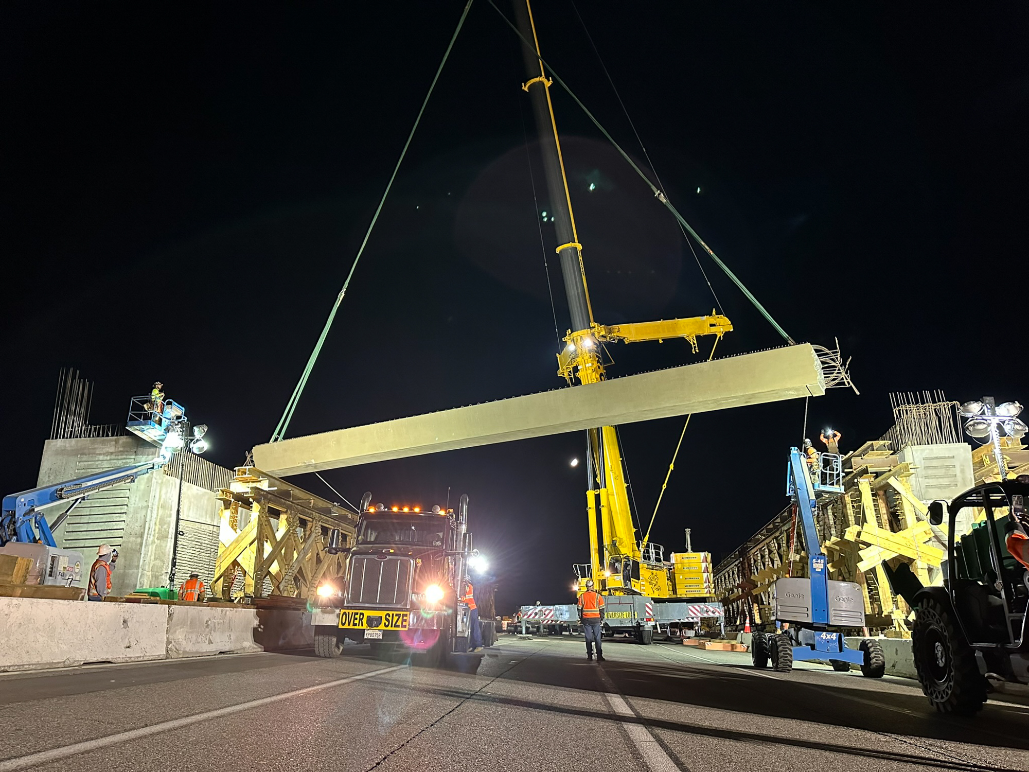
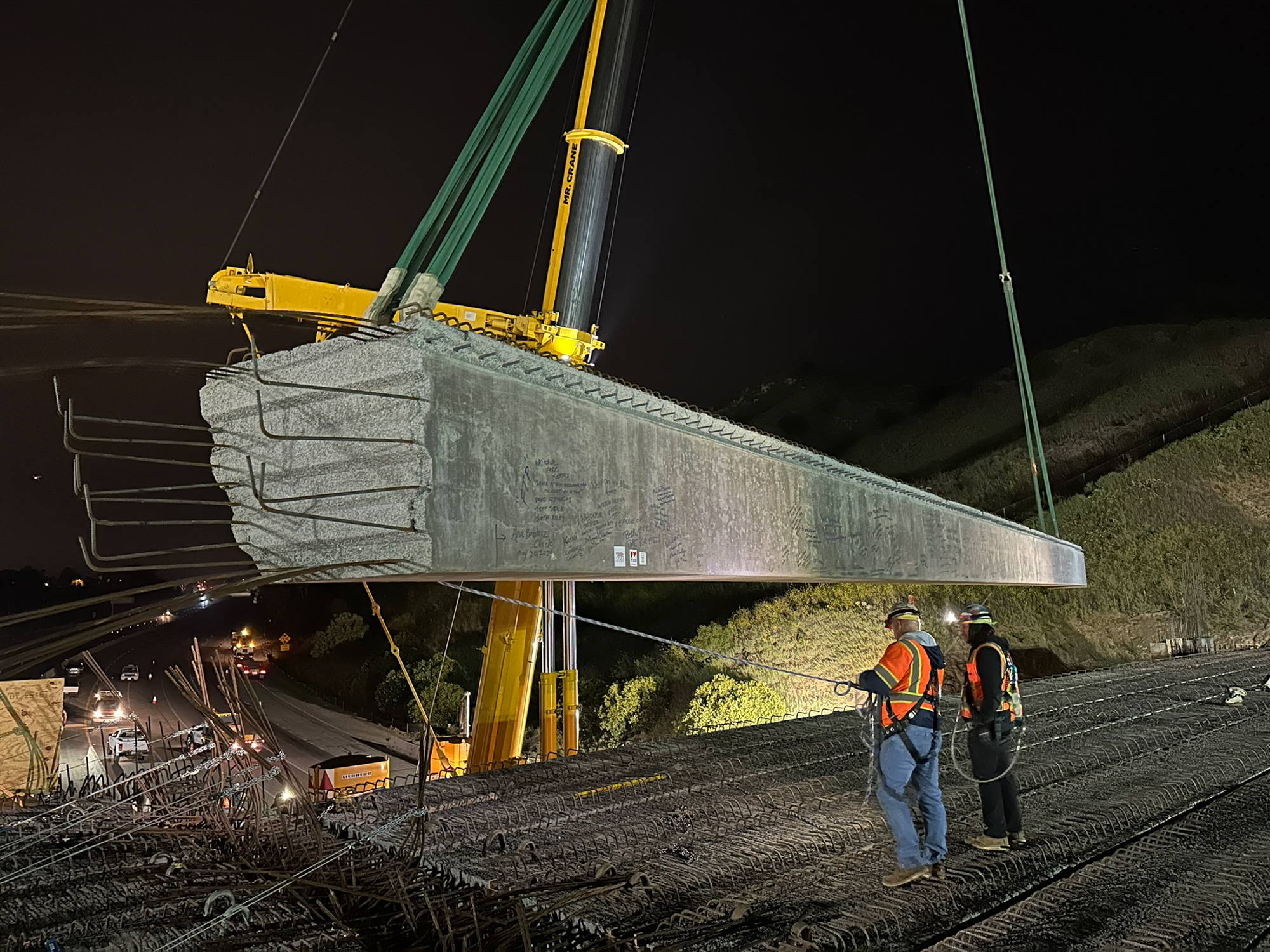
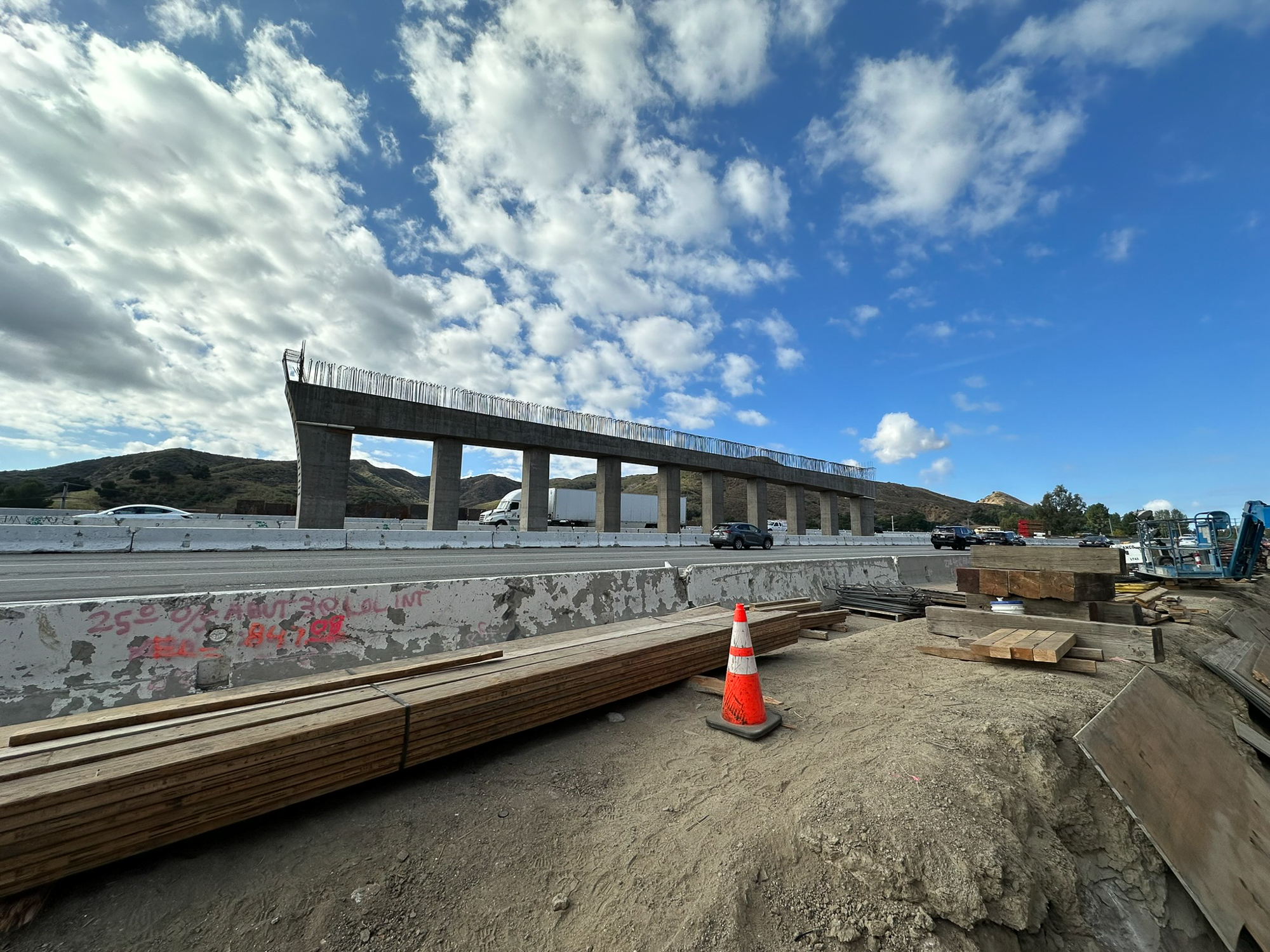
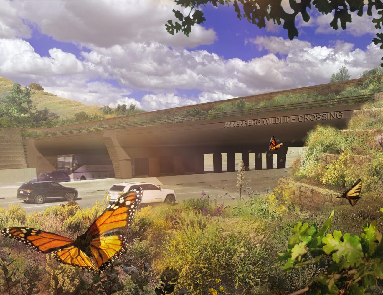
Want an even more in depth look at our approach to this project and its various stages of development? View the full design story behind the Wallis Annenberg Wildlife Crossing project.

Our work spans landscapes of every scale.

From regional ecological infrastructure to parks, campuses, and public spaces, every project begins with the same commitment to understanding place and designing for lasting impact.

Stay connected.

Have a project in mind or a place that deserves thoughtful attention? We’d welcome the opportunity to learn more and explore what’s possible.

Have a project in mind?

Do not hesitate to say